Pacific Crest Trail
 From June 24, 2006 to Oct 21, 2006 Maiu Reismann and I thru-hiked the Pacific Crest Trail! See the photo below showing us at the Mexican border!
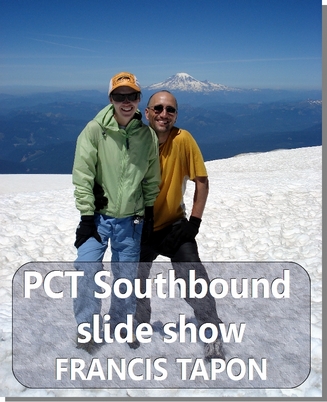
 NEW! You can download my PCT Slideshow for the price of a movie rental!
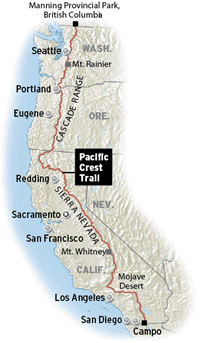
The PCT is about 2,650 miles long. We went southbound, starting in Manning Park, British Columbia in Canada and walked through the mountains of Washington, Oregon, and California. We finished just south of the tiny town of Campo in under four months. Read why we decided to go southbound.
The links on the left show my journal and photos. Check out my 8-minute video on the first 100 miles of the PCT!
Listen to my interview at PracticalBackpacking.com the day before I started the PCT!
If you have questions about the PCT, I encourage you to post a question on my forum. I'm always happy to dole out free advice!
A common question is how to plan. I encourage you to use Craig's PCT Planner. This free website is a bit out of date, but 95% of the information is still correct. For example, the Ollalie Lake Ranger Station was no longer receiving packages in 2006. However, they may be receiving packages again, so check. The PCT doesn't change that quickly, so the PCT Planner is still the best free resource for planning your resupply points for a long distance hike.
You can also view the video below, which summarizes the entire PCT in 10 minutes with music and moving images. I hope it inspires you to hike the PCT!
Your comment will be deleted if:
- It doesn't add value. (So don't just say, "Nice post!")
- You use a fake name, like "Cheap Hotels."
- You embed a self-serving link in your comment.


