 At first glance, doing a round-trip (a yo-yo) on the Continental Divide Trail (CDT) seems like a waste. Why not hike a different trail instead of hiking the same one two times? However, unlike the Appalachian Trail and the Pacific Crest Trail, the CDT is never the same trail twice.
Although the CDT Alliance (CDTA) has designated an official route, thru-hikers often deviate from it. The benefit of yo-yoing the CDT is that about 70% of the southbound journey can be new! No longer does one have to debate whether to take the low route along the lake or the high route on the ridge. A yo-yoer can do both!
After yo-yoing the CDT, I discovered that some of the beliefs that I had about the trail were false. Let’s debunk seven common myths about the CDT.
Myth #1: The CDT is 70% complete
This myth implies that you’re bushwhacking with a map and compass 30% of the time.
The 70% statistic comes from the fact that while 100% of the trail is designated, 30% of the time it’s not where the CDTA would ultimately like the trail to be.
For example, one section of the CDT might be a road-walk until the CDTA can create a footpath.
Perhaps a more accurate description is that 30% of the CDT is on either a dirt or paved road.

Myth #2: Thru-hiking is not a race

All thru-hikers race against winter.
Even the most leisurely thru-hiker looks like a maniac to the average weekend backpacker.
Section-hikers have self-imposed time boundaries that force them to pace themselves, even if that pace is five miles per day.
Someday, a courageous backpacker will thru-hike the CDT during winter; until then, we’re all racing - just at different paces.
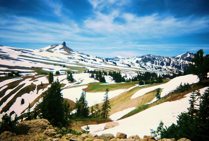
Myth #3: You can’t go through Colorado’s San Juans before June because there’s too much snow
 I went through in early May.
The secret is to start hiking before sunrise (when the snow is hard, but not icy), stay on the ridge as much as possible, and don’t let the snow intimidate you.
Just because the CDT isn’t always on the divide doesn’t mean you shouldn’t be. Thanks to the wind and sun exposure, the divide doesn’t have the deep snow that you’ll find elsewhere. The extra effort needed to get on the divide pays off because you won’t be postholing all day.
As a result, a pugnacious hiker can do 25-30 miles, even in May and June. I brought crampons but never used them.
The snow was almost never icy; it was usually crunchy or soft, in May.
I didn’t bring any, but given the soft snow, ultralight snowshoes would have helped.
However, the key ingredients to getting through the San Juans in the spring are lots of patience and courage.
Myth #4: The Idaho-Montana border is full of PUDs

A Pointless Up and Down (PUD) is a trail that takes you up and down a view-less mountain.
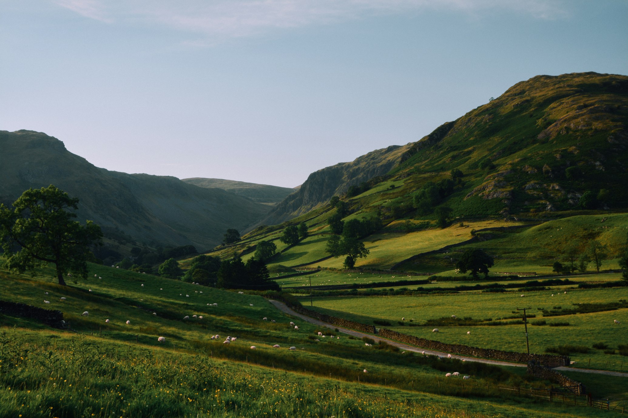
Because the Idaho-Montana border has few trees, you’ll actually enjoy big views all day.
Sure, you must head up and down along the ridge, often on a steep trail, but you’re rewarded throughout the hike with impressive vistas on either side of the Divide.
There’s nothing pointless about that!
Myth #5: Resupply lines are unusually long

Compared to the PCT, the resupply points are about the same or arguably more convenient.
The CDT surprised me by how often it goes right through a town, especially if you take the cutoffs.
A 5-mile hitch is just as easy as a 20-mile hitch if there’s really nowhere meaningful to stop during those 20-miles.
The longest sections that you have to go through without resupply are around the Idaho-Montana border and the Black Range, but they’re no different than the John Muir Trail.
Myth #6: The CDTA route isn’t as good as the unofficial route that most thru-hikers take.

There are five major alternate routes that most CDT thru-hikers take, and they’re all shorter than the official trail. I took the official route on the way to Canada, and the five conventional shortcuts on the way to back to Mexico. These cutoffs are so popular that they almost feel like the official trail.
However, only one of the five alternates is worth taking: hiking the Middle Fork of the Gila River in New Mexico is a bit better than the Black Range, which is the official trail. The other four alternates aren’t as good as the official trail.
I recommend:
- Using the Crazy Cook Monument terminus, not Columbus.
- Taking the San Juans, not the Creede Cutoff.
- Enjoying the 25-mile Rocky Mountain National Park loop, even if you make little forward progress (why skip a National Park?).
- Going around Butte, not through Anaconda (when is a paved road-walk better than a dirt road?).
Thru-hikers have good reason to take such shortcuts: they’re usually racing to beat winter and/or want to just “bag” the Triple Crown as quickly as possible. Sticking with the official trail adds one or two weeks to the thru-hike, but more thru-hikers should consider it.
Myth #7: You can’t go through the Tetons and have a contiguous thru-hike.
I describe a contiguous alternate CDT route through the Tetons that has hardly any paved road-walking.
The downside: you miss the Parting of the Waters and you encounter a bit more road walking.
The upside: you walk from one National Park to another (Grand Tetons - Yellowstone)!
The distance you cover is similar. It's a close call, but I'd give the Teton route a slight advantage over the traditional route.

Conclusion: It’s fun to yo-yo the CDT because of the variety the trail offers.
More than any other trail, the CDT invites you to hike your own hike!
This article has been reprinted with permission. It was originally published as: "7 Myths about the Continental Divide Trail," by Francis Tapon. BackpackingLight.com (ISSN 1537-0364). http://backpackinglight.com/cgi-bin/backpackinglight/continental_divide_trail_seven_myths.html, 2011-04-05 00:10:00-06.

