It's been nearly a week and the Pyrenees have been far more impressive than I imagined.... and I haven't even gotten to the best (highest) part yet!
I'm taking a short break to share a few photos before heading into the mountains. It's still snowing in the mountains, so I could use the break. I will push hard all next week because it's good weather, so I will try to do 40-50 km per day to take advantage of the conditions.
Therefore, I may not write again until I arrive in San Sebastian, Spain and touch the Atlantic.
Here are a few photos of the journey so far.
I had to hitchhike to the Cap de Creus and it was an adventure just getting there!
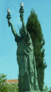
One unexpected site near the Cap de Creus: a statue of liberty in Spain that looks like it's signaling a touchdown!
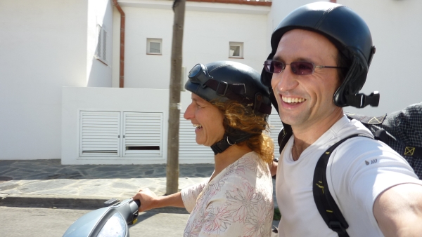
Getting to el Cap de Creus was unforgettable because I experienced a hitchhiking first: I was picked up by a motorcycle! That's never happened to me! To make it more super unique, the driver was a woman! She was a German woman who now lived almost next door to where Salvador Dali lived for most of his life. She had an extra helmet and I snapped a picture of us while on the go.
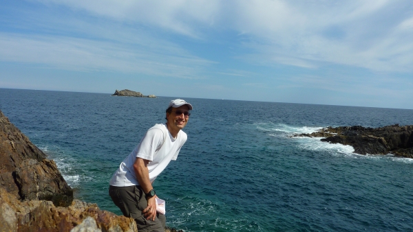
I'm standing on the edge of the Cap de Creus!
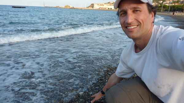
I touched the Mediterranean Sea one last time before hiking to the Atlantic Ocean via the Pyrenees.
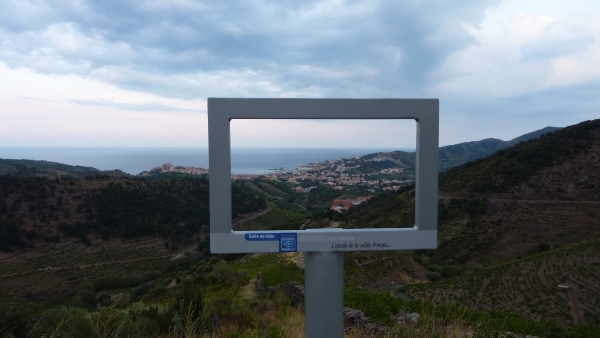
Banyuls-Sur-Mer and the Mediterranean begins to fade as I start to climb, climb, and climb....
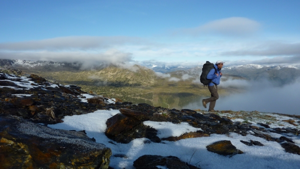
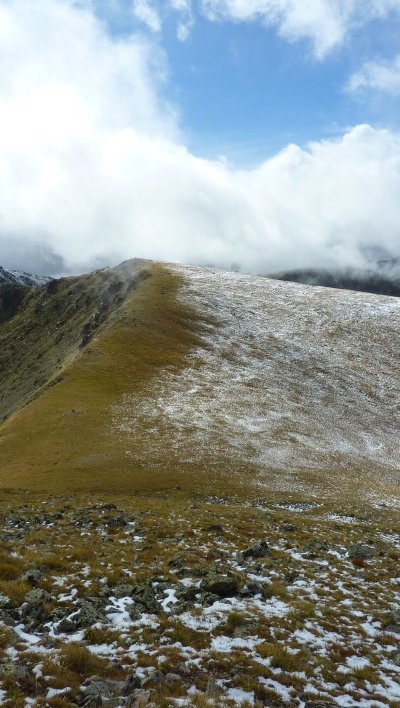
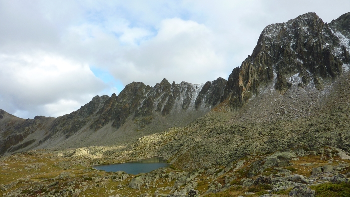
Fresh snow fell the night before I walk through here.
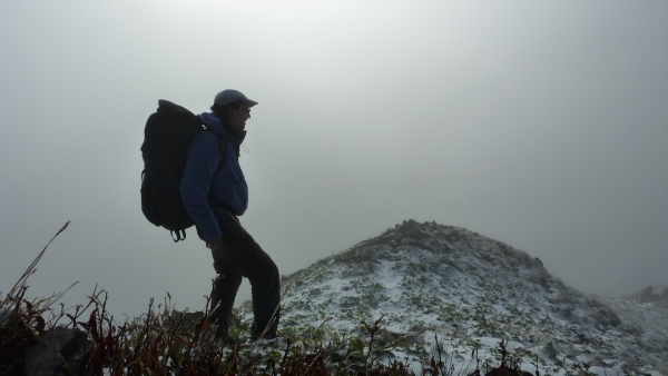
Visibility sucked at times, which doesn't help me when I'm trying to navigate with a 1:400,000 map! (Most people use a 1:50,000 map, which gives 8 times more detail than what I have.) The weather was looking good, but that afternoon it would snow again.
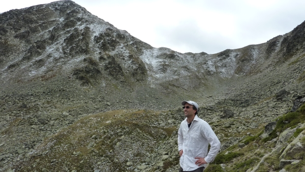
I may have been at 2,500 meters, but with my white shirt, I was ready for a business meeting.
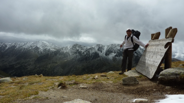
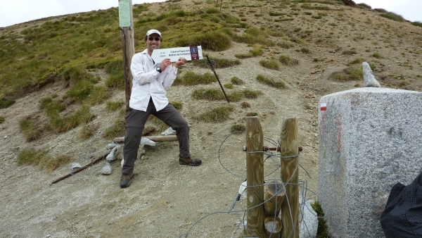
I love big signs for idiots like me!
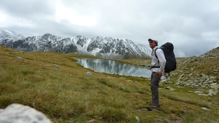
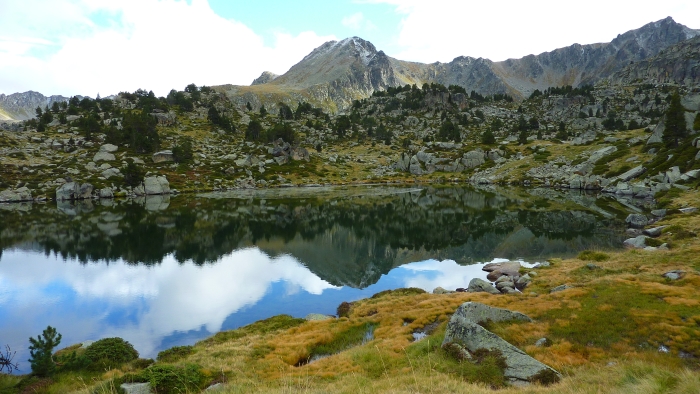
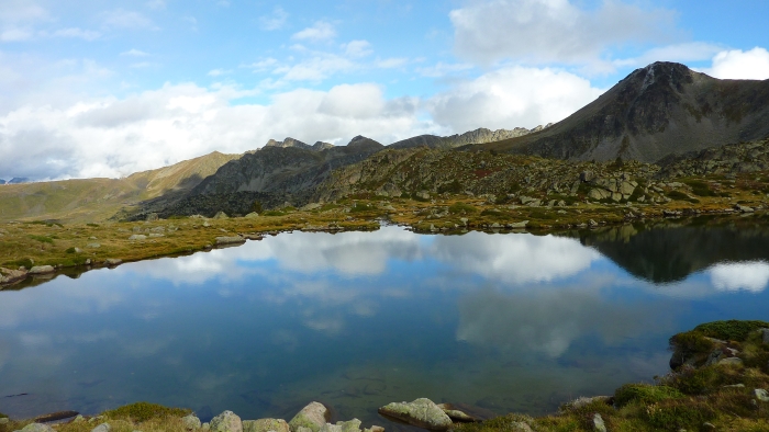
The scenery is breathtaking.
This a cool place because it's where three countries (Spain, France, and Andorra) all meet.
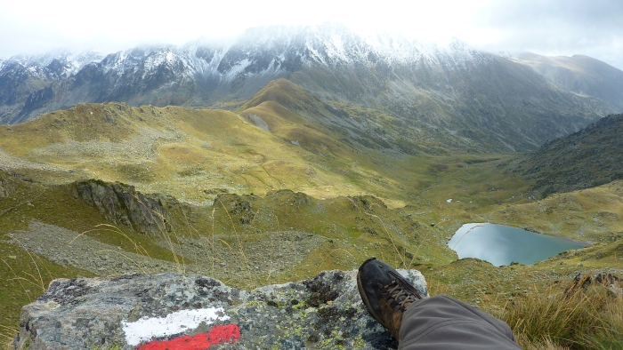
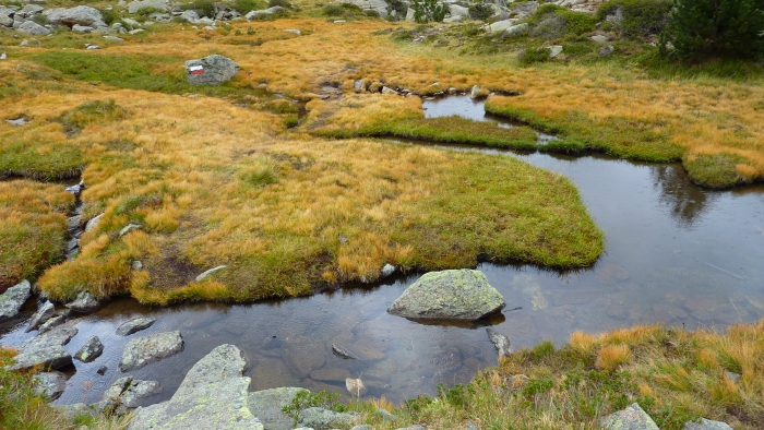
The red-white blaze indicates the GR 11 trail (Spain Pyrenees traverse) which I was following at the time. Sometimes I did the HRP (High Route Pyrenees) or the GR 10 (France Pyrenees traverse). It depended on the weather and which trail I thought would provide the best scenery.
Fresh snow evidence.
It's fun hopping across the stream.
The next few photos show why the Pyrenees reminds me of the John Muir Trail and the High Sierra in California.
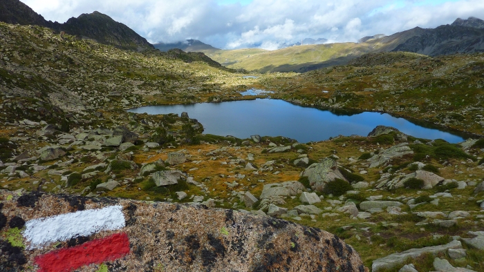
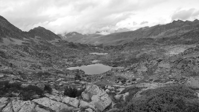
Ansel Adams? Not quite.
Cold camping.
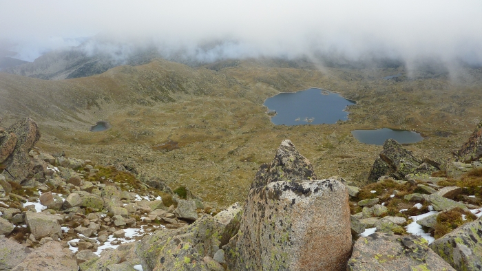
This is at 2,800 meters, moments before the snow started falling.
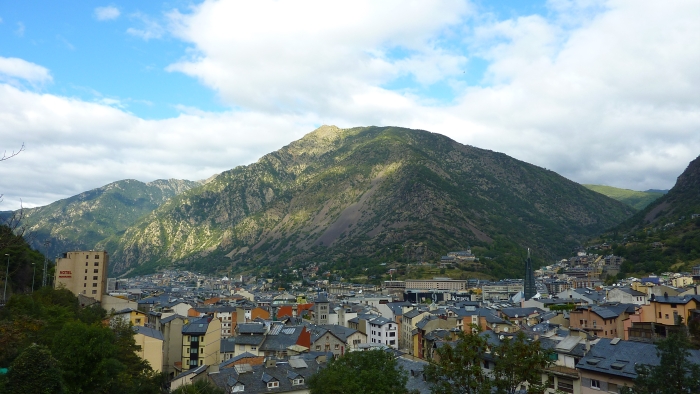
Andorra's capital city is called Andorra la Vella. It's at 1,000 meters (about 3,300 feet). It was a nice place to recharge my batteries before a big push across the toughest (and best) part of the Pyrenees.
