In this article, you'll find 58 photos from the rest of my Pyrenees crossing, from the Mediterranean Sea to the Atlantic Ocean. I jumped between the GR 11 (Spain), HRP (high route), and the GR 10 (France), depending on the conditions, scenery, and food supply. West of Andorra, the Pyrenees climb to their high point before slowly descending into the Atlantic Ocean. If you want to stay chronological, make sure you see the first half of this trip.
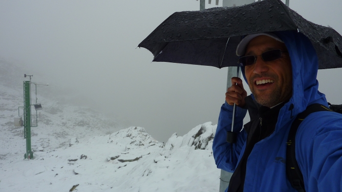
It was late September and I got hammered with a snowstorm. I found a green weather station at a high mountain pass. As I climbed up the freezing rain turned to snow. I wasn't carrying my trusty and strong GoLite umbrella. Instead, I had a $4 umbrella, which survived this storm. It did OK for two weeks and then started slowly falling apart. It was better than I expected!
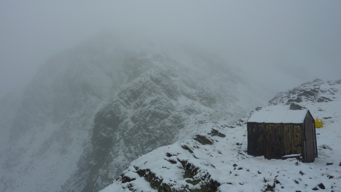
Although it was nice to see this simple shelter in the middle of nowhere, it was noon so I didn't need to stop. It was a nice place to take a 10-minute break and eat while it snowed outside.
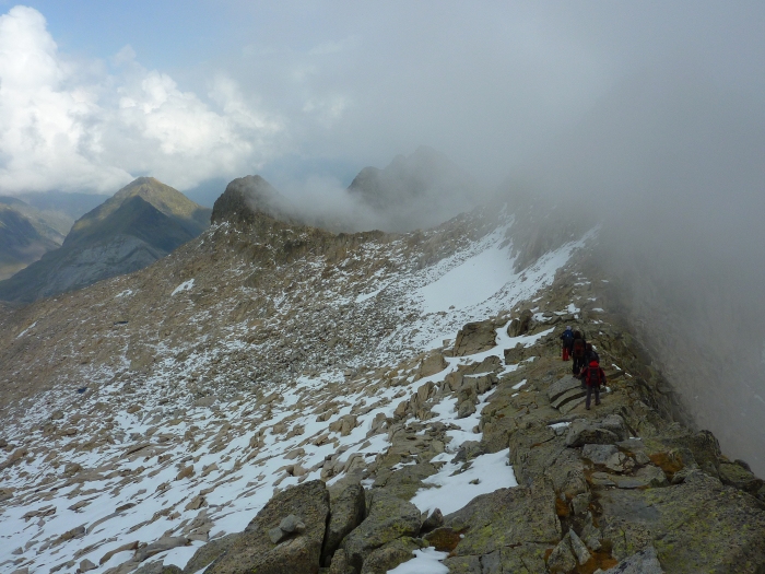
I got lost right after I took this photo. Constant fog and snow made navigation hard, obscuring the trail and the mountain passes. You'll see a small trail marker on the rock on the upper right-hand corner of the photo. I continued walking away from the marker, but couldn't find another one.
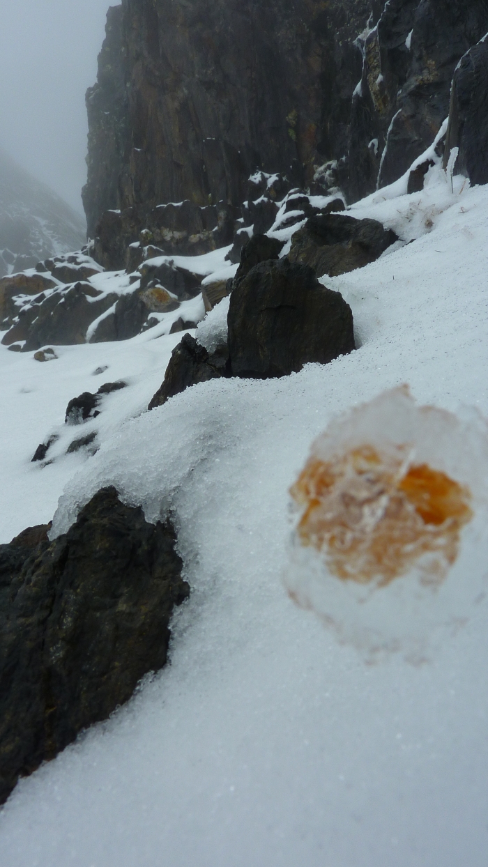
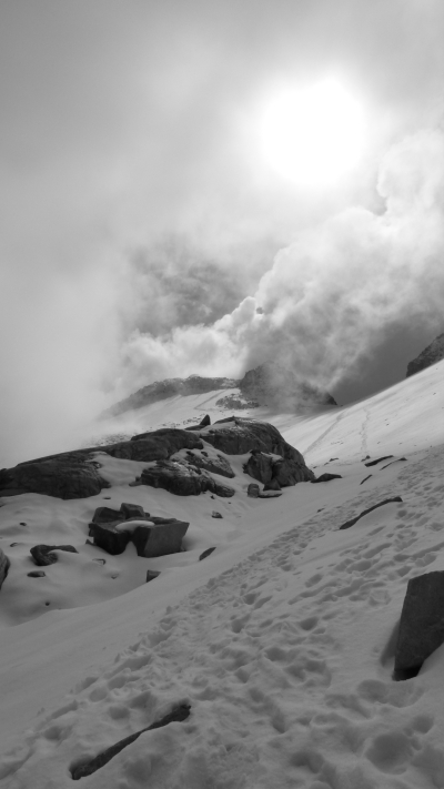
I climbed hundreds of meters, looking for the mountain pass (col) in the fog. At one point the mountain face became extremely steep, but not steep enough for a flower to try to grow (see photo above). I continued climbing through the gap. Mini avalanches were constantly pelting me. Worse, my altimeter showed that I was at 2,850 meters - over 100 meters (330 feet) higher than the pass! I couldn't see the pass either to my left or right. Given the steepness and exposure, I reluctantly descended, retracing all my steps, and tried a climb up again on a slightly different compass bearing. This time I found the pass, although I couldn't see much there either!
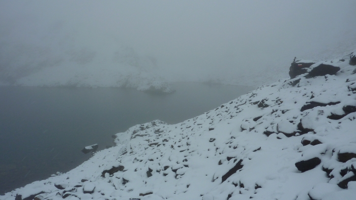
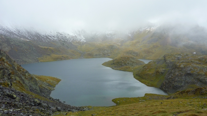
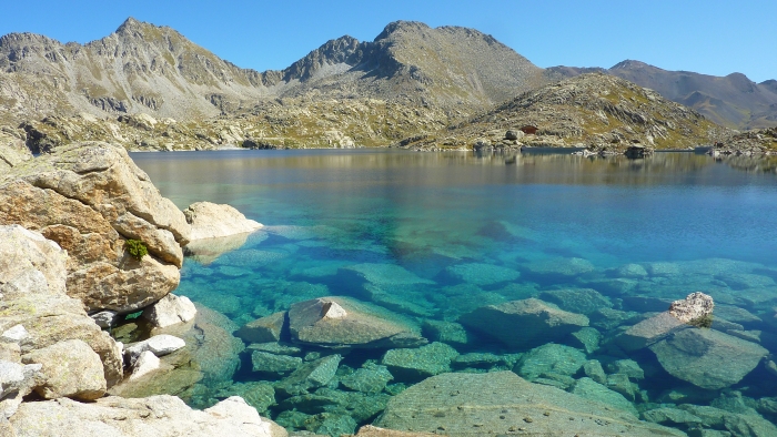
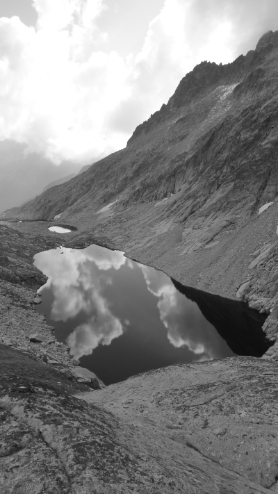
Finally, I was able to descend from the foggy, snowy mountaintops to the rainy alpine lakes below. I was quite alone.
Eventually, the snow and rain stopped and hiking became easier.
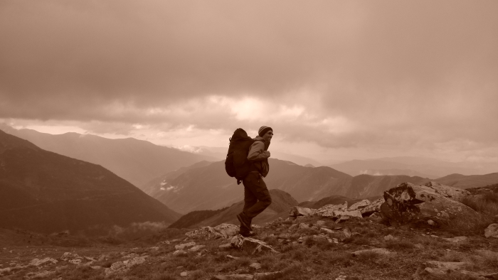
Hiking has its benefits.
The clouds began their retreat.
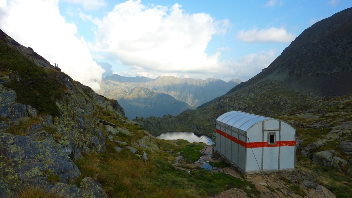
I was backpacking without a map at this point, wondering where the trail would take me. With just 2 hours of light left, I questioned the decision of hiking up higher, wondering where I would camp above the treeline. To my surprise, I ran into the Mont Roig Refuge! This cute, bulletproof, rodent-proof, metal shelter was just what I needed. I ended my day early, at 7 p.m.
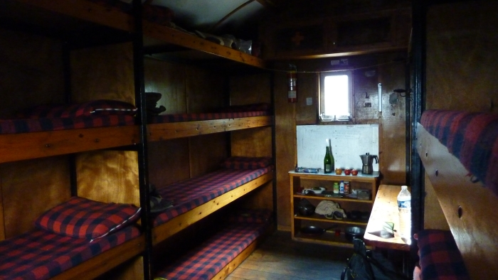
Europeans are more civilized than Americans. This is a free shelter! Cozy! I had it all to myself since few hike in the high Pyrenees at the end of September. Someone left 3 apples, which I happily ate.
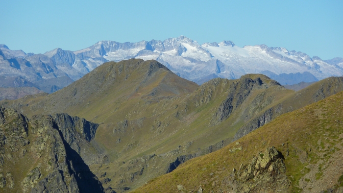
Without a map, I climbed up a mountain pass hoping it would lead to somewhere interesting; Fortunately, as you can see, the descent wasn't super steep. In the distance, the glaciers of the Pyrenees were waiting for me.
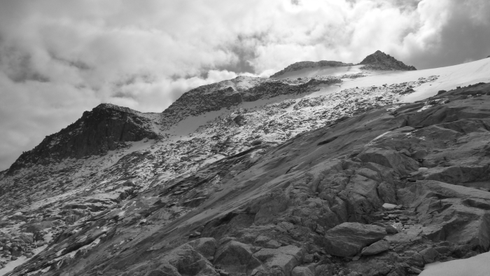
That's where I was heading: the glaciers around Aneto - the highest mountains of the Pyrenees.
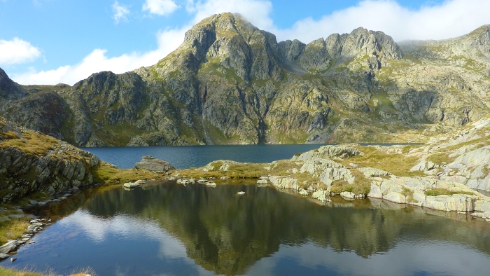
Lovely water to drink, but not to swim in (it's REALLY cold).
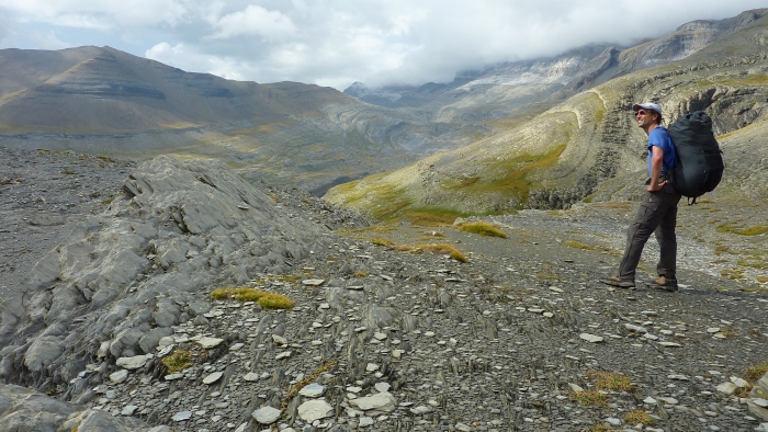
Temps were perfect during the day, and just above freezing at night.
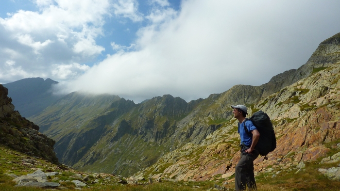
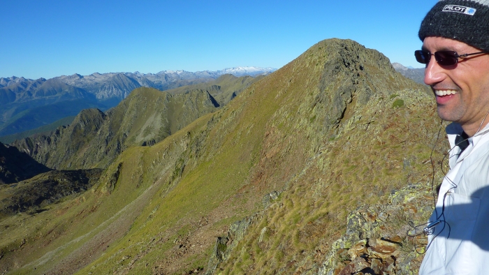
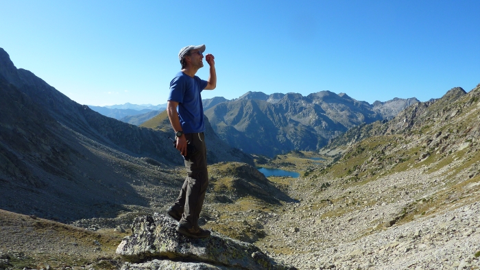
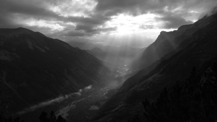
I'm not a good enough photographer to capture the beauty of the Pyrenees, but trust me, it's an amazing mountain range!
Now the fun starts again. After reaching the mountain col, I headed up the ridge to the summit of Mont Tres Mujeres, a 3,000-meter mountain which is next to Aneto. Swift clouds whipped over the pass as other hikers worked their way up. One man nearly lost his eye when he slipped on ice and smashed his face into a rock. He was bleeding profusely.
Although it wasn't my goal, it was nice to get to the 3,000 meters of summit of Tres Mujeres. However, this was just a warm-up for the big daddy: Aneto.
Unfortunately, by the time I got to the base of Aneto, it was 4 p.m. and freezing rain was coming down (it was snowing higher up). There was no point in trying to summit at that hour because it would mean coming down in the dark. Besides, it was snowing and there was little visibility, so I would just be cold and wet.
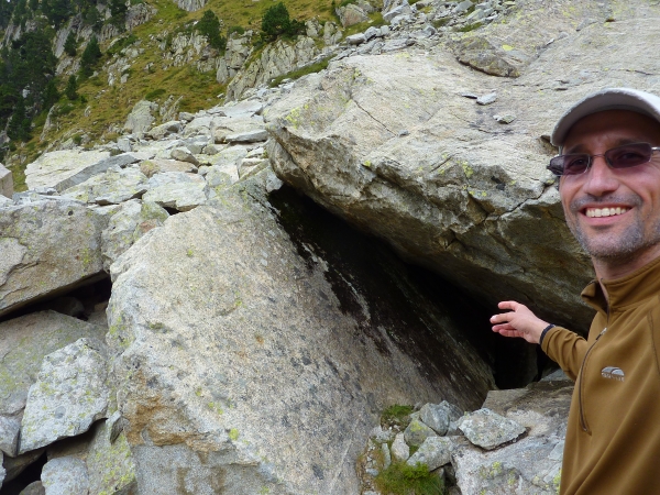
Without a place to connect my tarp, I entered this jumble of boulders, hoping it would provide shelter from the rain. After jumping into my sleeping bag, steady drips fell on me. Fortunately, this cave was so big that it had, further down below, a deeper (and much smaller) chamber. Luckily, I'm not claustrophobic, so I squeezed in there. It was damp and cold, but dry. I fell asleep hoping that there wouldn't be an earthquake that night.
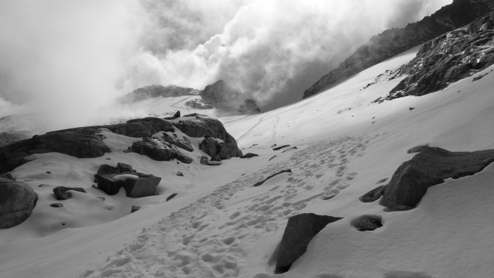
The next morning the storm had passed and I started climbing Aneto, the tallest peak in the Pyrenees.
The sun sometimes showed its warm face.
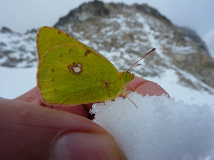
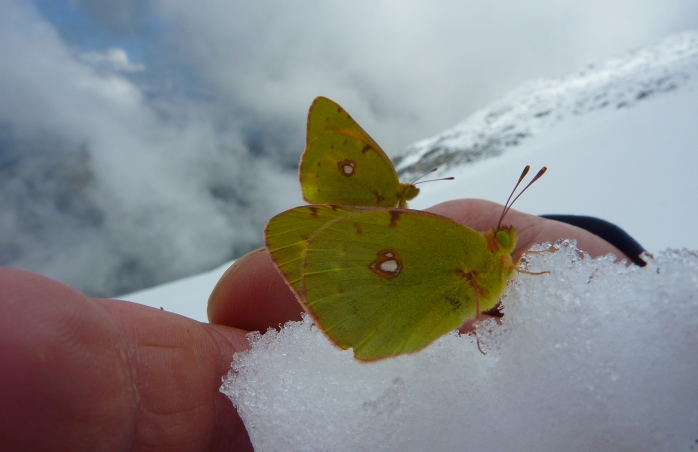
It was bizarre and surreal finding a butterfly on the Aneto glacier. It was even weirder that I picked up the snow it was sitting on and it didn't fly away. It stayed in my hand as the snow melted away. It rested on my bare skin for a few minutes while I continued to descend, then eventually it flew away.
I found another one of these mountain climbing butterflies. Not sure why else they are on the glacier other than to brag that they bagged Aneto.
Rangers urge everyone to carry an ice ax and crampons. I had neither. Instead, I just had real old trail runners with no more tread.
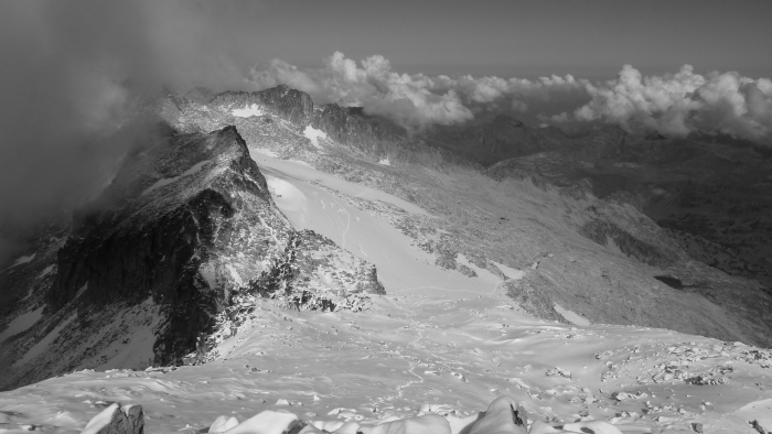
Aneto around October 1, 2009. This is about 3,350 meters.
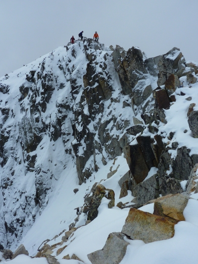
El Paso de Mahoma is the most terrifying part of Aneto. Although it's just 10 horizontal meters (and about 3 vertical meters), it's scary because you're exposed to a guaranteed fatal drop. Since it had snowed the night before, fresh powder covered the icy rocks. I had no gloves. I scrapped off the powder and gripped the frozen rocks hoping not to slide either to the right or left - either way down would kill you. What's worse is that I didn't have time to contemplate each step because my hands were burning from the cold. Pushing the snow away was quickly making my hands useless. I moved through this tricky section as fast as I could.
After I blazing the trail top, three well-equipped Spanish climbers appeared and followed my footsteps. We celebrated on the summit together. I took this photo of them on the descent as they were about to re-cross El Paso de Mahoma.
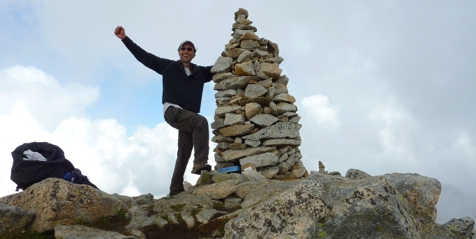
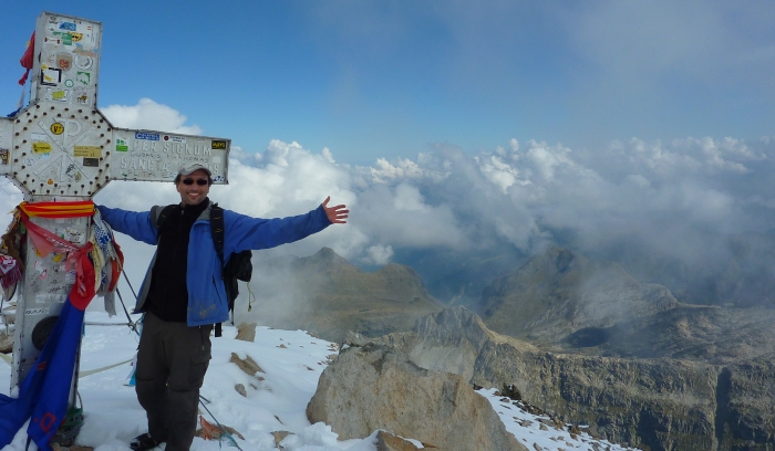
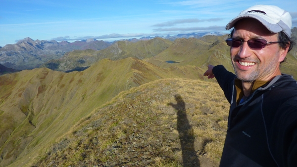
Celebrating on the summit of Mount Aneto, the tallest peak in the Pyrenees at 3,404 meters (11,168 feet).
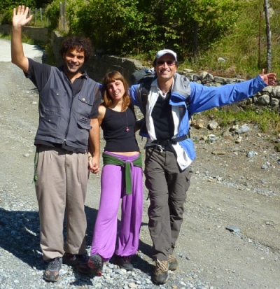
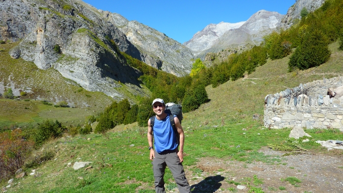
I was exhausted after Aneto: my shoes were falling apart, I hadn't washed my clothes for nearly two weeks, and I hadn't taken a shower for 5 days. As I descended Aneto, I ran into Kike and Laura, who had gone for a day hike up a different valley. They asked me to take a photo of them. We chatted on the way down. Eventually, they invited me to stay the night at their home, do laundry, shower, and eat a proper Spanish meal. I was thrilled! It was trail magic just when I needed it most! Wonderful!
This photo is when they dropped me off at the trailhead the next day.
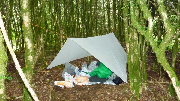
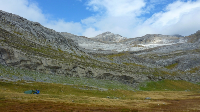
I only set up my tarp when I think it might rain. This two-person tarp felt incredibly spacious since I was alone in this comfy spot.
This Spanish valley is one of the popular entrances into the National Park of the Pyrenees. It reminded me of Yosemite Valley, complete with waterfalls.
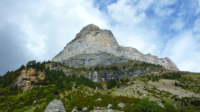
Waterfall in the Pyrenees.
Nowhere to camp with a tarp. Oh well, keep walking.
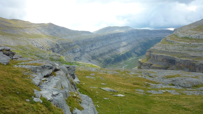
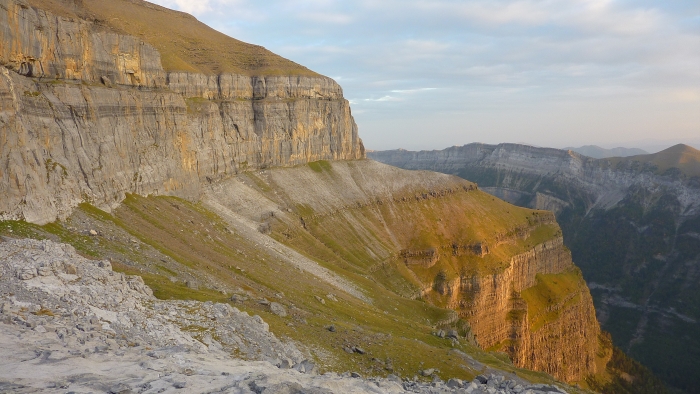
This canyon reminded me of the Chinese Wall in the Bob Marshall Wilderness on the CDT. The GR 11 trail heads down into this canyon, but I wanted to stay high, so I continued climbing. It turned into a mistake that would have me clinging to a steep drop later on.
This lonely guy was preparing to spend a cold October night in his tent.
For not having taken the easy way down the mountain, I found myself cliffed out. The sun was setting and it seemed that the only way down was as steep as this.
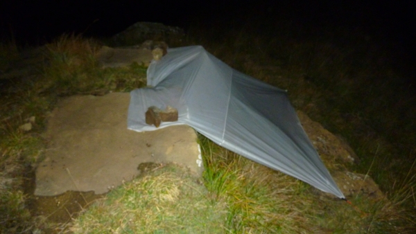
I was above the treeline, exposed to a cold wind, a possibility of a rainstorm, and no trail out of there. I resorted to making a creative campsite. I used rocks to hold down the tarp and crawled into my mini-lean-to shelter. During the night, it was important that I not roll to the right, down the cliff.
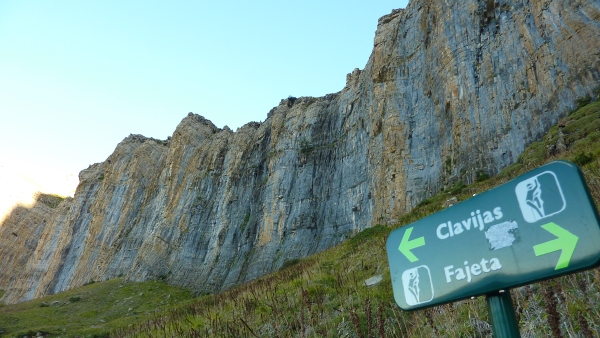
I didn't want to wimp out just because I was "cliffed out." Although I had no climbing gear, I climbed my way down the rock face. As you can see, the dude on the sign has a rope, indicating this place is for climbers only, not hikers.
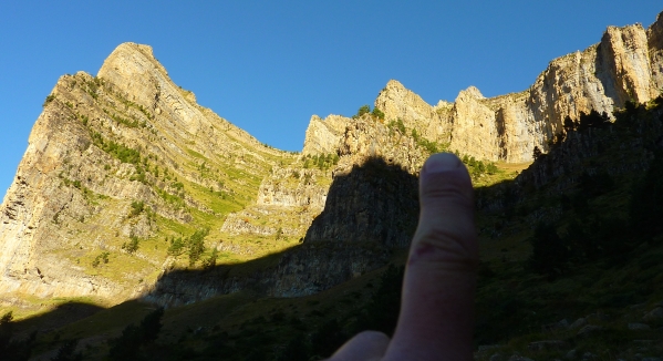
I'm pointing to the section where I climbed down. It was the least steep of all, but that's not saying much - it was nearly vertical.
It was October, so the leaves were just starting to change their colors.
I am straddling the Spain-France border. My right foot is in Spain; my backpack is in France.
I would stay on this crest for a while. I had departed from the HRP to get up on the border and enjoy putting my right foot in France and my left in Spain.
Looking at France, with Spain behind me.
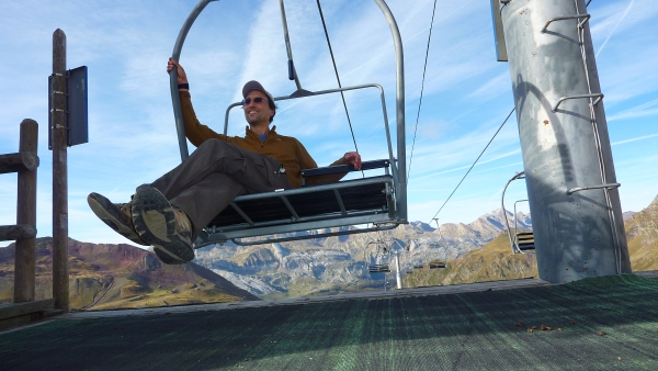
It would sure be easier to see the mountains if these lifts were working...
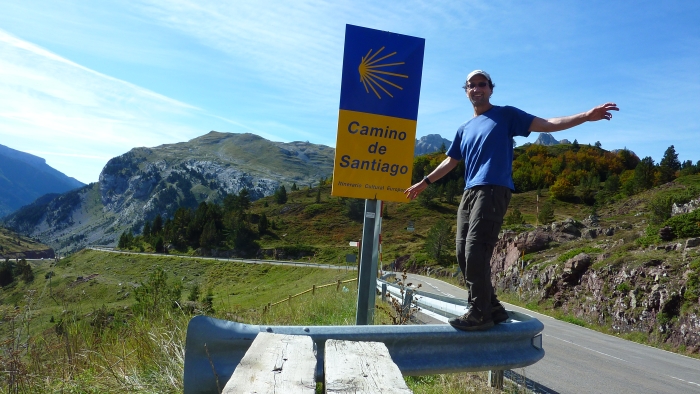
I descended to Porto Somport, the high point of the Camino Santiago. It's only 1,670 meters, but today's pilgrims find it too hard. Most now cross near St. Jean Pied-de-Port, which is much lower. This pass in the photo, however, is the traditional, ancient road that pilgrims used to take. After the photo, I climbed back up into the Pyrenees.
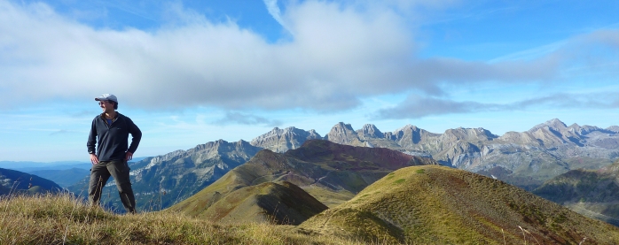
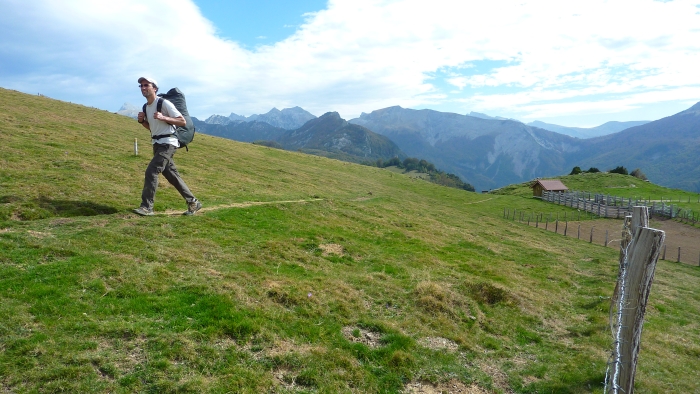
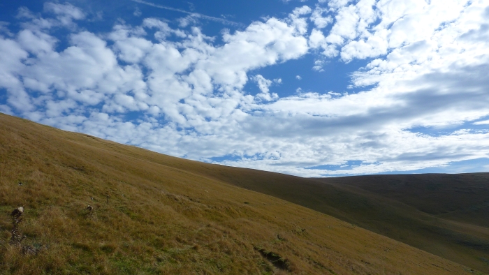
The trail started to get easier as the Pyrenees began their descent into the Atlantic.
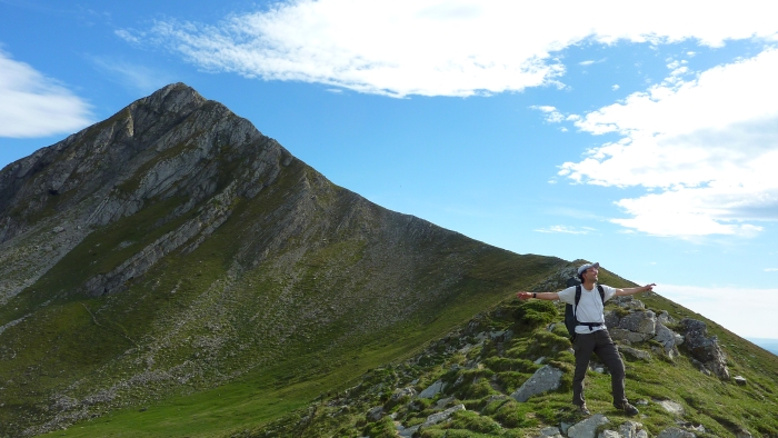
I said goodbye to one of the last 2,000 meter mountains I would see in the Pyrenees.
Sometimes the trail became obscure, like here. It's in the picture, but hard to see with all the livestock trails.
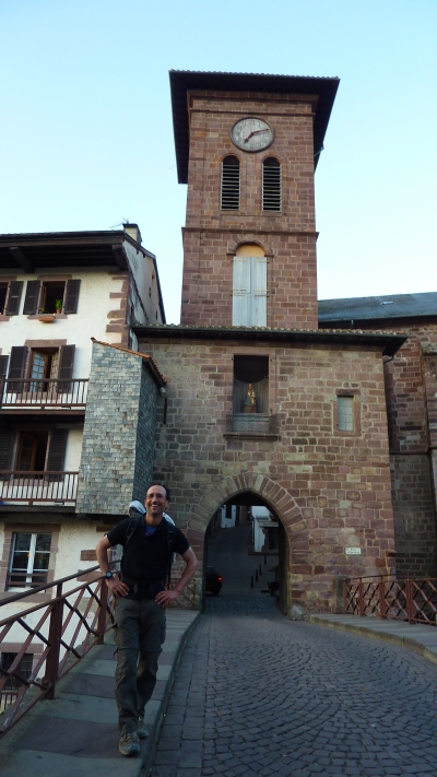
I officially started El Camino Santiago (Chemin St. Jacques) here, in St. Jean-Pied-de-Port, France.
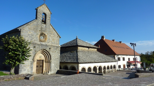
Here is another popular starting point on El Camino Santiago (Way of St. James): Roncesvalles, Spain. It's popular for those who don't want to go over the Pyrenees. I saw dozens of pilgrims here and got a much-needed shower for $3.
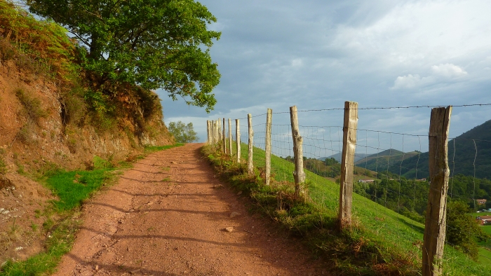
The colors of the French countryside.
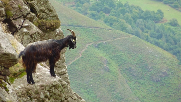
A goat thinking about suicide...
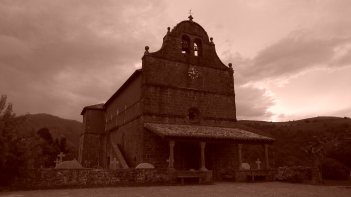
The HRP/GR10 goes through the village of Bidarray, which has this pretty church.
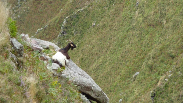
This mountain goat is the philosopher of the family.
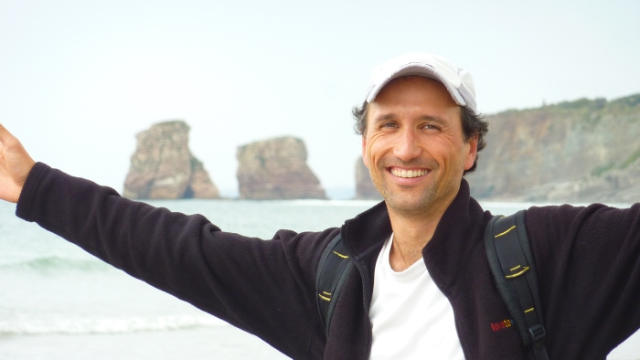
Hurray! I finally see the Atlantic Ocean! Cool!
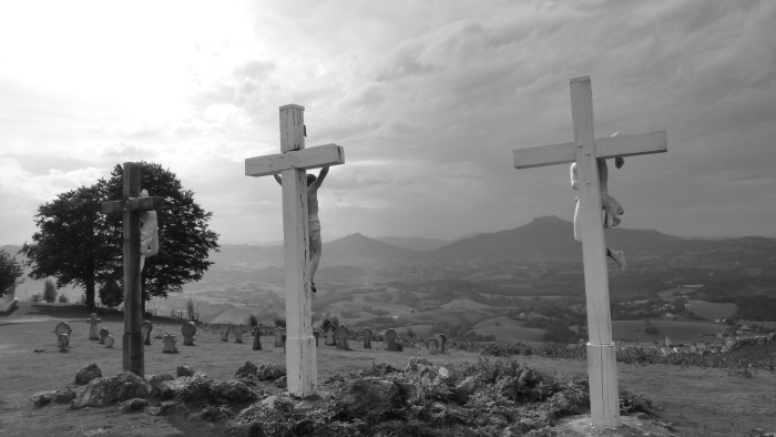
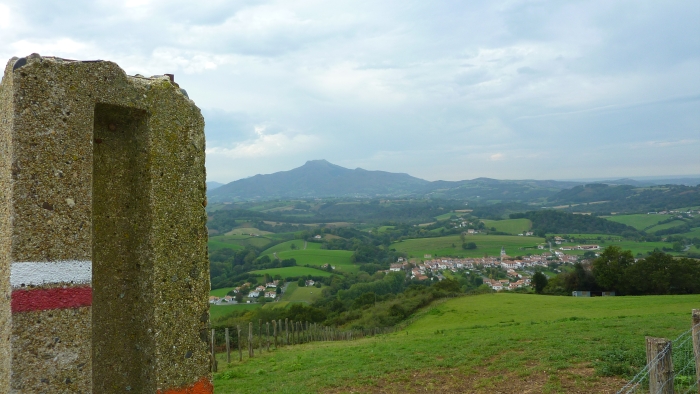
The HRP/GR10 trail goes by this monument. Nearby is a sacred spring with some tasty holy water.
Ainhoa, France is the village below. In the distance is the last mountain the trail goes over, Le Rhune (about 900 meters). I was trying to buy some peppers from a 10-year-old who was selling them when his mother invited me to her home. Before you know it, Pauline and Xavier invited me to stay the night! I had some blisters and rain was falling - the timing again was perfect! Right at the end!
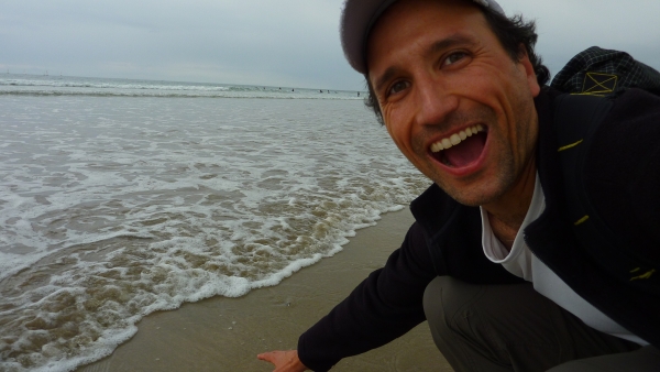
It was October 9, 2009. After 25 days, I finally got to touch saltwater again! The Atlantic Ocean had been my dream for the last 800 km! It was great to be back at sea level!
With that, the crossing of the Pyrenees, from the Mediterranean Sea to the Atlantic Ocean, was complete! What an adventure! It might be my favorite long-distance backpacking trip ever! I am happy and lucky to have the opportunity to hike it. I am incredibly grateful.
After celebrating, I turned my attention to the next trip: El Camino Santiago. I had started it in St. Jean-Pied-de-Port, France. Now it was time to go Santiago Compostela. The adventure continues!
