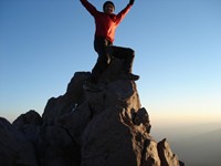
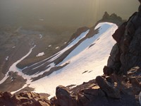
According to most thru-hikers, the PCT through Lassen National Park sucks. The highlight is going a few  minutes off the trail to see the Terminal Geyser. Although it's interesting, it's nothing compared to the wonders of the route I recommend. The official route was designed for pack animals, which can't do the alternate route I outline below.
My alternate route is longer, has more climbing and road walking than the official route. However, the scenery is well worth it. It's a crime to walk through a national park and not see anything noteworthy or memorable. This route sees the best of what Lassen has to offer. You won't regret it. Click on the pictures on the right to see what I mean.
To do the same route, start by downloading the free map of Lassen National Park (pop up).
I'll describe the route from the Northbounder's perspective, although I did it southbound. Water is plentiful throughout the journey, except on Lassen Peak.
Starting from the bottom of the map: 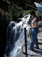
- After going a few minutes off trail to see the Terminal Geyser, go to Drakesbad Ranch. Enjoy a meal and the hot springs!
- Behind the Ranch (less than 100 meters away) there is a secret trail that heads up (north) the mountain. There might be a sign not to use the trail because it's eroding. Not sure if they fixed it. If you feel guilty about causing more erosion, go to Warner Valley.
- Walk towards Kings Creek Falls.
- When you get to the juncture, I recommend a quick and worthwhile side trip to the falls. Walk about 5 minutes to the east towards Kings Creek Falls. It's relatively flat trail. You'll then get to admire the spectacular waterfall! Now return to the juncture.
- Head west towards Kings Creek Campground, just a few hundred meters south of UPPER MEADOW. This is about a mile of road walking, but worth it for what's ahead. Shortcut: as you approach the campground, keep looking for an easy way south (down, to your left) to get to the parking lot, to avoid the winding road. There is no trail, but it's easy to see where you're going.
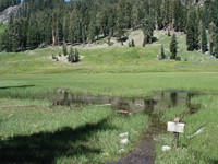
- Once at the parking lot, use the map to go to Cold Boiling Lake. It's a fascinating lake. You'll see bubbles coming out and yet when you stick your finger in it, the water is quite cold. Cool!
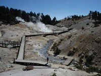
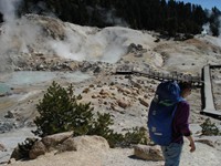
- Continue west towards Bumpass Hell. Enjoy one of the most spectacular hydrothermal features at Lassen. Boiling mud pots, steaming ground, roaring fumaroles, and sulfurous gases are linked to active volcanism and are all reminders of the ongoing potential for eruptions in the Lassen area. Nowhere else in the Cascade Range of volcanoes can such an array of hydrothermal features be seen!
- Walk to Lake Helen. You'll find a small trail around Lake Helen, which has an awesome view of Lassen Peak. There's are picnic tables next to the lake. I believe this is the l
 ast reliable water source for a while. I don't think there is a water fountain at the parking lot by Lassen Peak, so if you want to go to the summit, load up here.
 - Walk uphill for 10 minutes (either going cross country or following the paved road) and head to the parking lot at the base of Lassen Peak.
- If you need to camp, find some flat hidden spots about 100 feet above the toilets in a gully. Stash your backpacking gear there, take a day pack, and follow the obvious trail to the 10,457 foot (3,187 meter) summit of Lassen Peak! There are plenty of signs along the way with interesting historical info. Celebrate at the top!
- Road walk for to a trail that takes you to Shadow Lake.
- Stay on the trail, cross the paved road, and finally arrive at Summit Lake, a major campground.
- Head east away from Summit Lake, and then all trails lead to the PCT! All the trails are scenic with pretty lakes.
Need a shortcut? A variation after step #10, would be to road walk to the trail that heads north near the Devastated Area at Hat Lake. From there, head northeast for 10 minutes on a paved road, pick up the trail that basically goes north and connects with the PCT. I didn't try this, but it's a good option if you're in a hurry.
Obviously, southbounders can just reverse the directions. By the time southbounders get to Lassen they will have mastered the science of reading guidebooks backwards!
If you try my alternate route, 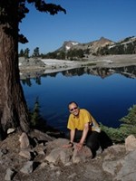
Lastly, I'm under no illusion that this route is original. I'm sure a few billion people have done this alternate route before me. However, it's not in the official PCT Guidebook, I haven't seen a web page about it, and I didn't meet a thru-hiker who had taken an alternate route through the park. Therefore, I want to spread the good news that there is a better way to hike through Lassen than the official PCT. Always hike your own hike, so if you're a purist, call me an idiot and stay on the official PCT.


